
Day Trip: Chaco Canyon
by Bruce • September 12, 2020 • Roadies • 3 Comments

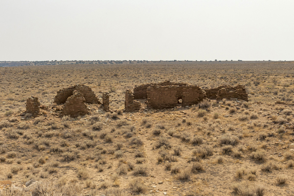
Window at Bonito
As last Monday was the last day of the Labor Day weekend, I didn’t feel right not using it to go out somewhere, and the first destination that entered my mind was the Ah-shi-sle-pah Badlands, home of the King of Wings and Alien Throne rock formations. My enthusiasm for that trip was tempered by the suggestion that one probably should have a satellite GPS unit to find the formations in that area.
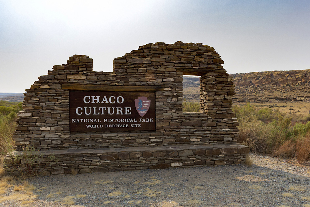
Not ready to get lost in a wacky remote desert area, I decided a revisit to the Chaco Culture National Historic Park (a.k.a Chaco Canyon) would be a great alternative for the day trip.
I was up at 4:40 on Monday morning to care for the cats, brew some coffee, grab some cereal, and load up the truck, and I was on the road by 5:10.
My drive out to Chaco was pleasant.
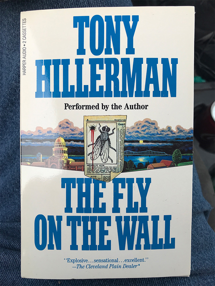
A fine short book for a day trip.
Tim, my boss at work, at one time had given me an audio cassette version of Tony Hillerman’s political intrigue novel “Fly on the Wall”. At a length of 3 hours, it was a perfect listen for the day, and I started the audio book once I cleared a quiet Bernalillo and was cruising north in the quiet dark on US-550.
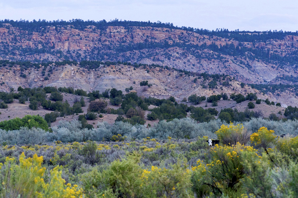
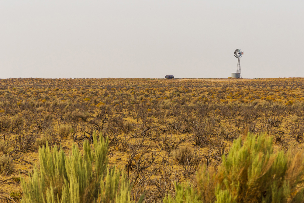
Morning moo.
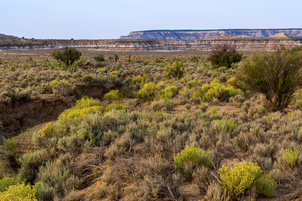
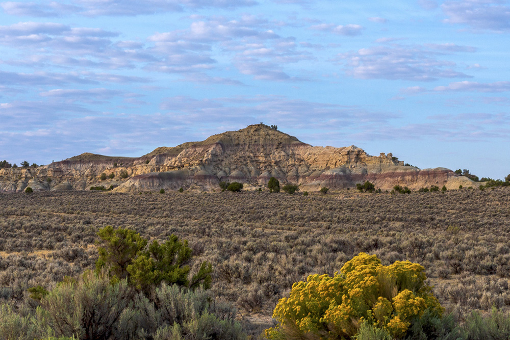
By the time I was south of Cuba, NM, the sun was rising, and I stopped for a few photo ops in the new light before entering Cuba. I topped off my truck at a station there, and picked up a sausage and egg biscuit from the McDonald’s attached to it, and then climbed over the ridge north of Cuba to scoot across the chamisa-lit plains that would bring me across the Jicarilla Apache reservation, into the badlands south of Nageezi, and to my turnoff to Chaco.
Candy cane cliffs off of US-550, across from the Apache Nugget Casino on the Jicarilla Apache Reservation.
The Island
A badlands breakfast.
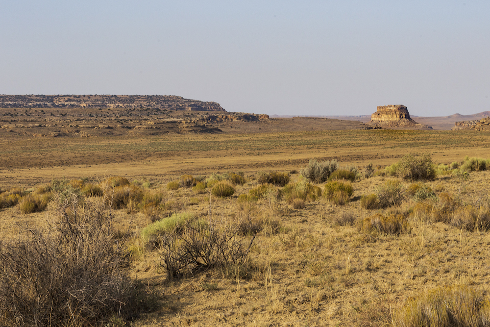
When I had nearly completed the 21 mile trek on CR-7900 from the 550 turnoff to the Chaco park entrance, I was happy to be greeted by Fajada Butte.
A familiar (rock) face.
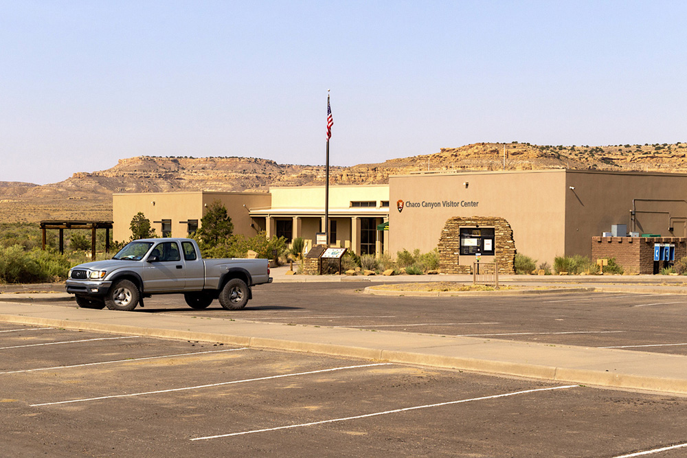
I was also happy to be pretty much alone in the park, as I saw no vehicles in the area except for the ones used by officials parked behind the visitor center.
After a quick check in at the locked visitors center, I took the first trail I saw adjacent to it which went to the ruins of Una Vida. I had no idea these ruins were by the visitors center, and taking it I learned the short loop climbed the skirt under a butte cliff where petroglyphs had been etched into two faces of a tall jutting rock. I enjoyed that location’s view of Fajada Butte in the morning light, the quiet over the vast expanse of land around me, and breathing in the cool autumn-like air sitting in the valley.

View of the Visitors Center and Fajada Butte from the Una Vida Petroglyphs trail.
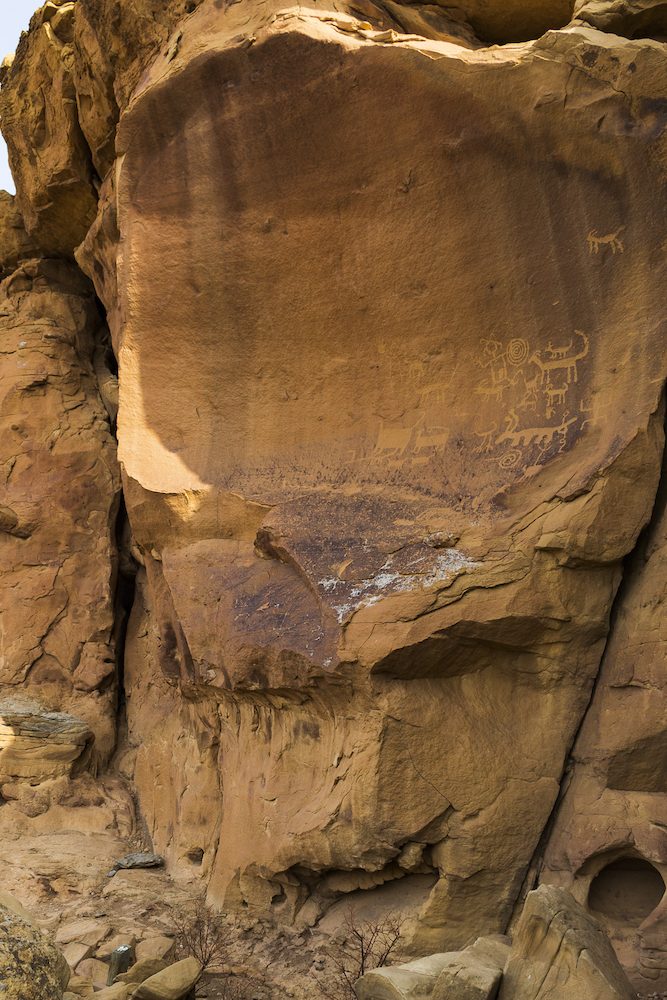
Petroglyphs above Una Vida.
I then made my way back to my truck and drove on in to the park.
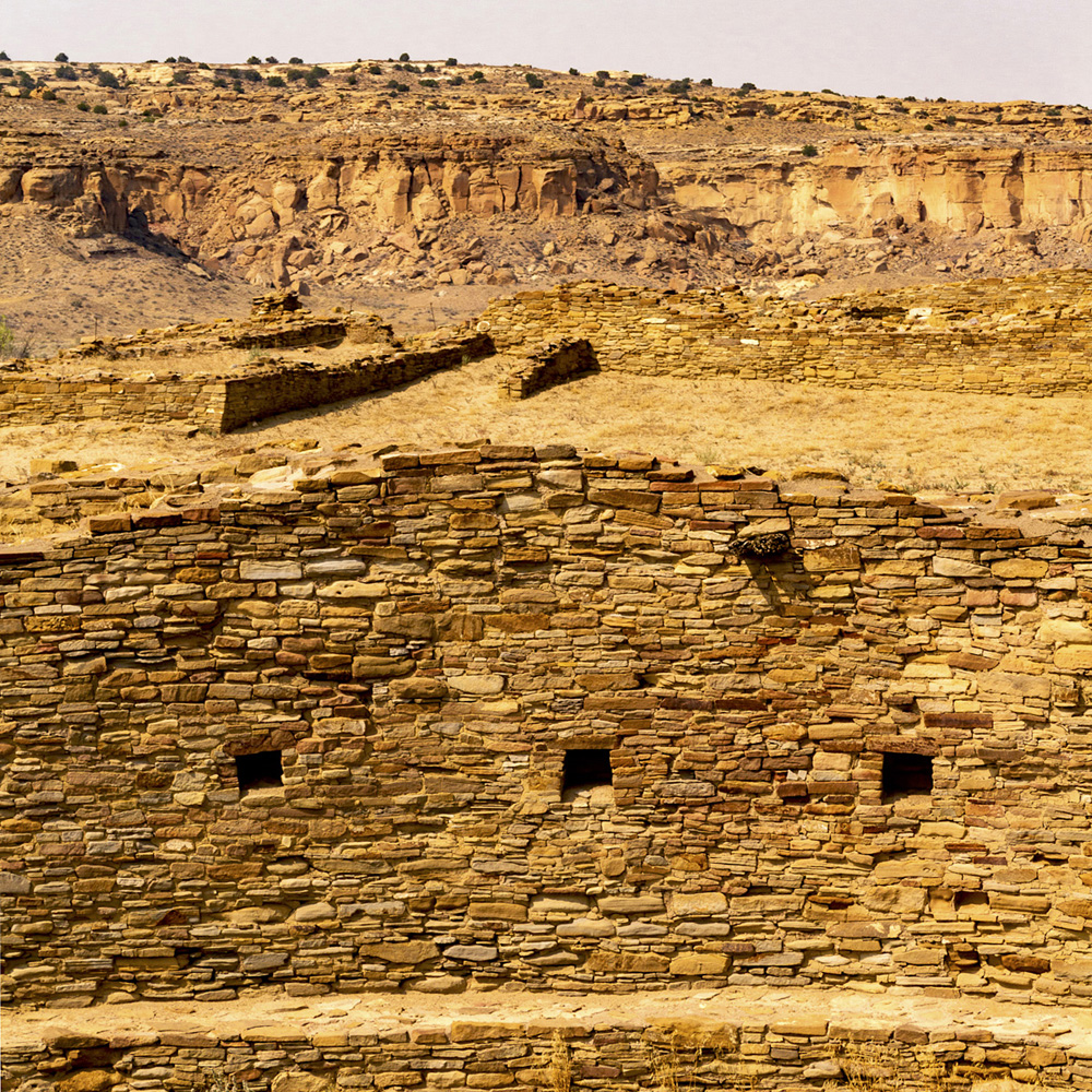
Profile of the Hungo Pavi pueblo.
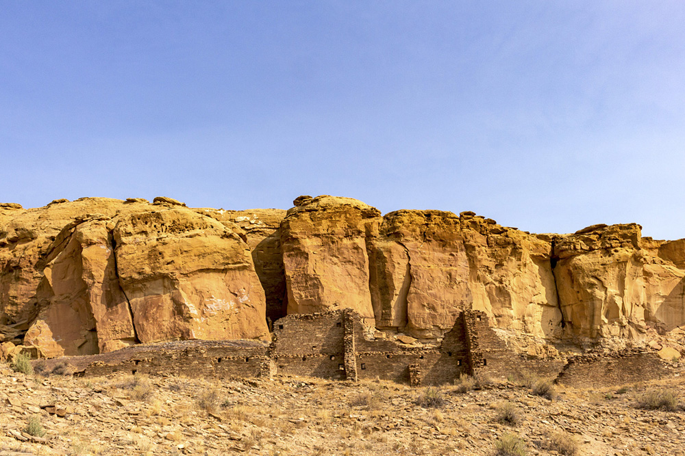
My main goal of this visit was to perhaps see some of the ruins I had not visited before, but driving on in to the canyon, I knew I had to stop and take a walk around Pueblo Bonito, just because of its size and centrality as a Chaco complex.
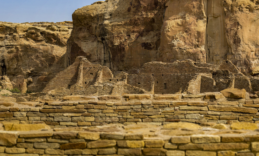
The walls of Pueblo Bonito.
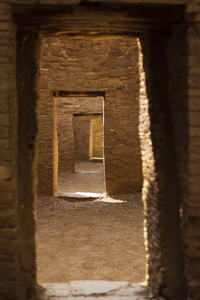
The famous doorways view of Chaco Canyon.
On my last trip to Bonito, I had wanted to find the famous line of doorways that is commonly photographed, but my back was out of it at that time, and I could not crawl through the rooms’ short entrances. This time, my back felt better, and there was no one around to witness me crawling around if my movement came to that, and I finally found the famous view.
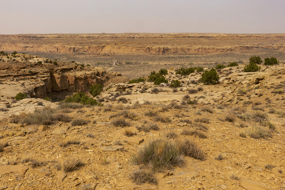
My original inclination was to revisit the top of the north mesa that I had visited when I was with my sister and her son several years ago. That trip would start by first ascending a natural rock chute by the Kin Kletso ruins onto the north mesa top. As I looked at the park map, though, I recalled that in the last visit all of my time had been spent at the north pueblo locations, and that a small community of pueblos on the south side of the drive loop also offered me a trailhead for a little adventure. This trail took the visitor somewhere south of the Casa Rinconada pueblos, up onto that mesa, and to another set of pueblo ruins.
Kiva and ruins.
I opted to visit the Casa Rinconada communities, where the largest kiva in the canyon sat on and in a rise nearby several pueblo ruins. And then I set out on the South Mesa Trail.
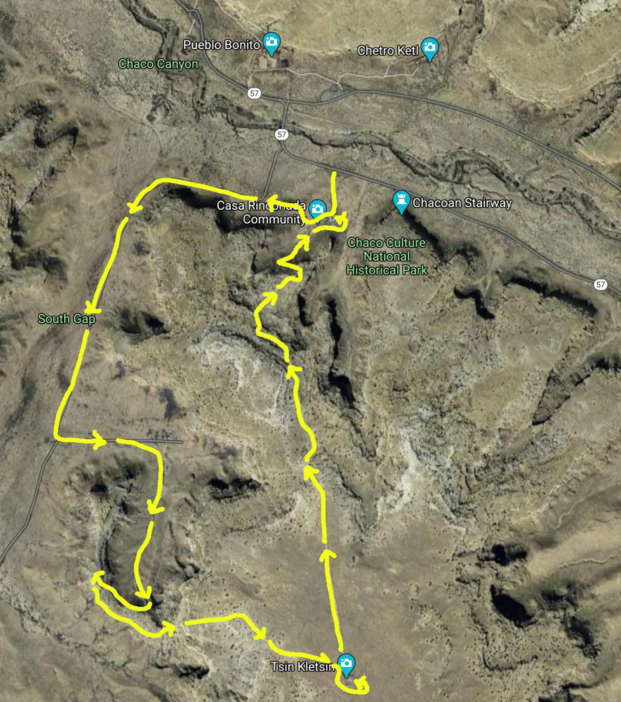
My path on the South Mesa trail to Tsin Kletsin and back to Casa Rinconada.
I had little idea what I was looking at taking this trail. It turned out it was a 5 mile loop that began with a short run in the valley between the South and West Mesa, and then the trail entered a gap in South Mesa and ascended its shallow incline to its top.
My hike began down an old overgrown service road, under a warming sky, where the blue was being replaced with the muddy haze of smoke. The hike up the gap reminded me I was kind of out of shape- and older.
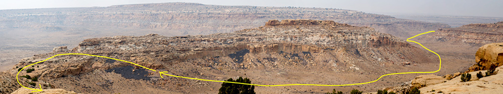
The ascent path up and through South Gap onto the South Mesa.
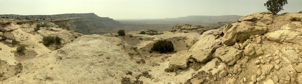
On top of the mesa, in some descent gusts of breeze, I stop and ate some fruit and nuts and drank some water, and looked south into the expanse swallowed by a smoky brown sky.
A view into the gap from mesa top.
I continued on the trail and left naked rock for the flat sandy and lightly vegetated table land on top, and in time, I came to the ruins of Tsin Kletsin. If the Acomas have a sky city, this small pueblo was a sky city of the Chacoans, sitting exposed on the top of this mesa. Tsin Kletsin was small but had a number of rooms in tact, an interesting settlement away from the pueblos in the canyon.
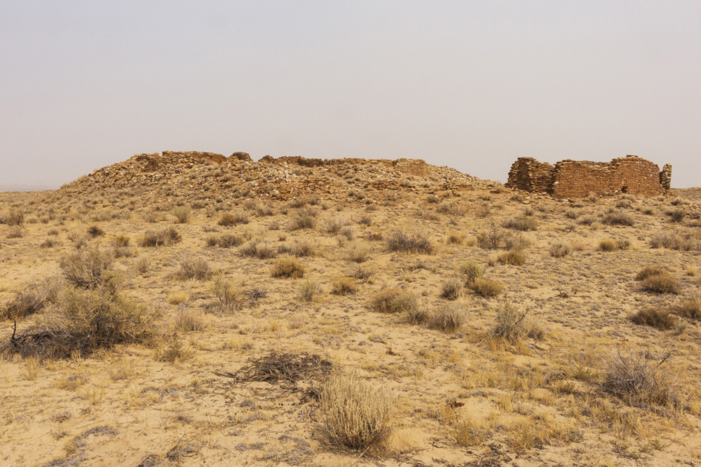
The mound town of Tsin Kletsin on top of South Mesa.
Some vacancy.
My destination reached and investigated, it was time to head back north to find the canyon.
Return path back towards the canyon.

Cairns were carefully provided at generous intervals to keep me on the right path on this trail.
Tsin Kletsin was not alone as a mesa top settlement by Chaco Canyon, I was soon reminded, as I could, from my elevated position, see Pueblo Alto across the canyon, sitting over Pueblo Bonito.
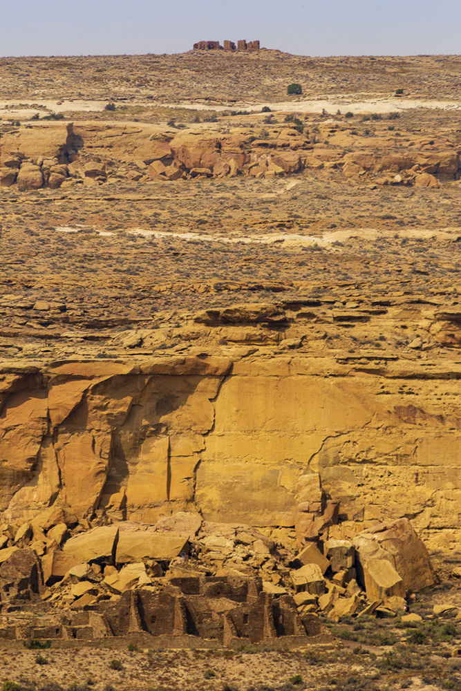
Pueblo Alto sits on top of the North Mesa, above Pueblo Bonito on the canyon floor.
By the time I had completed my descent via the back leg of this trail and returned to my truck, I was grateful I had brought several large containers of water nestled in ice in the cooler. It was late afternoon by the time my hike was done, and I, parched and a but weary, just sat under the shade of a thin tree canopy in the back of my truck and drank water, enjoying the furtive approaches of a small bird curious if I might feed it. A large crow flew over and landed on a fence crosspost near the kiva on the hill behind me, and it watched me. I drank my water, noticed that the lot by Pueblo Bonito contained about 10 cars, and I rested my legs for a little bit in the sparse shade.
It was a good hike, and a good half day spent at Chaco.
I had also brought a mini can of Coca Cola in my cooler, and when I got in my truck to slowly finish driving the park loop and exit Chaco, I drank it. It hit the spot.
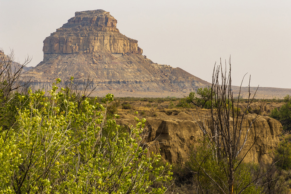
I had to stop and take a few obligatory photos of Fajada Butte from a differing vantage point. Aside from Shiprock, I would recommend Fajada Butte as an ideal identifying landmark for New Mexico.
Until next time, Chaco.
I enjoyed seeing whatever I could see in the hazy late day light over the Navajo land adjacent to CR-7900 as I made my way back towards 550. There is just something about the entire northwest area of New Mexico that draws me- its intemperate and unwelcoming lands, its bleak but beautiful environs, and yet, its secret hospitality to the Navajo who live within it.
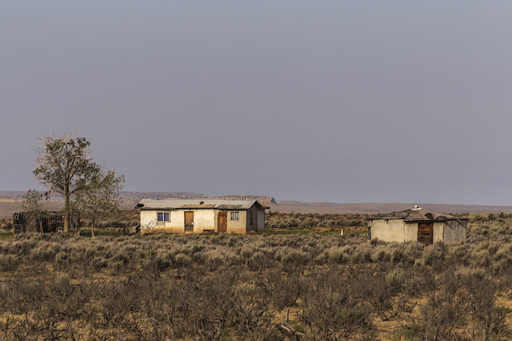
Hogan and home.
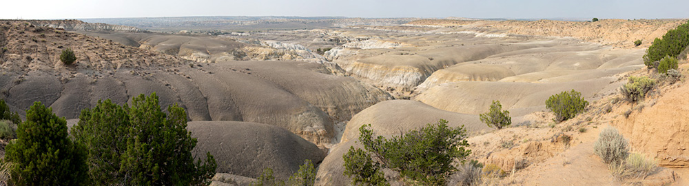
Candy-colored badland berms sit in a vista point off of CR-7900, a surprising site in ideal light. I presume these are part of the Lybrook Badlands that are south of Nageezi.
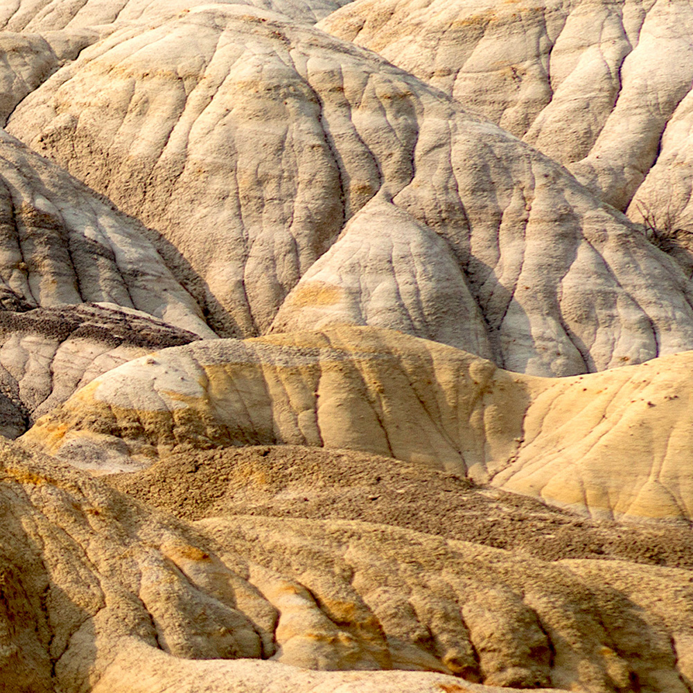
Did I mention candy-colored badland berms?
The edge of the world.
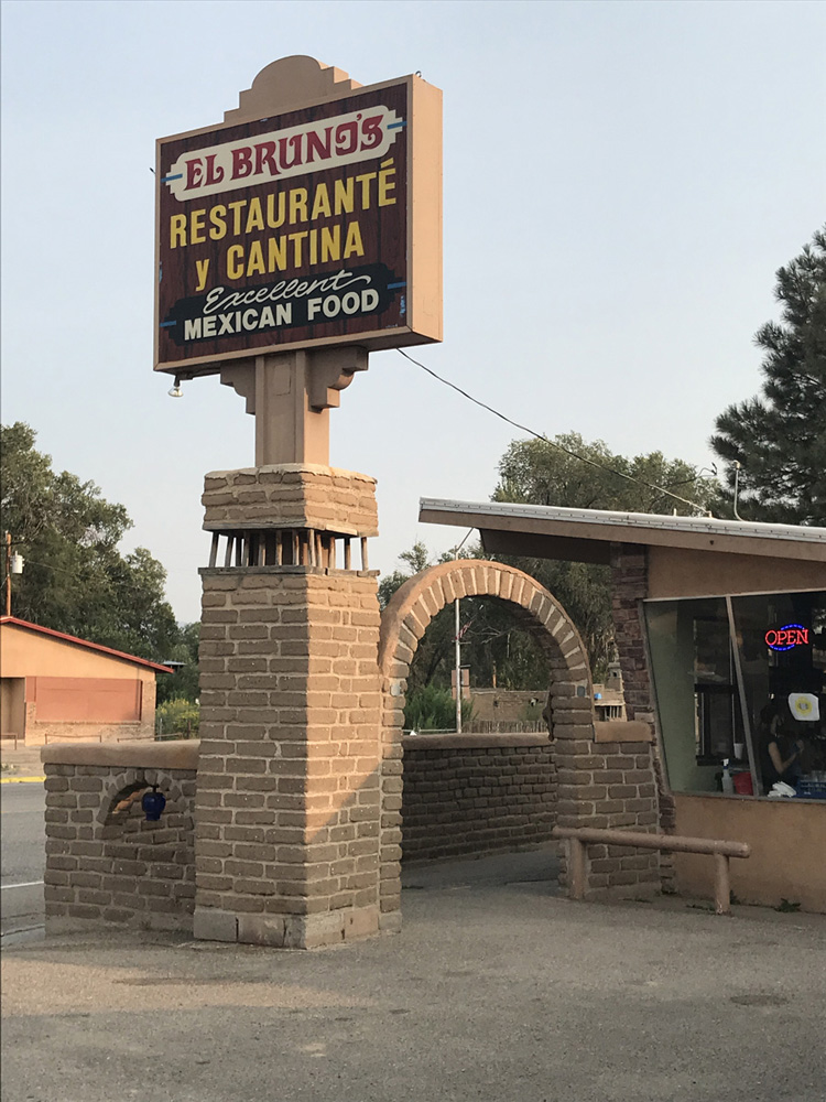
Satisfied by my Chaco time, my mind turned to the enchiladas I hoped to eat at El Bruno’s in Cuba, and after I was back on 550, I listened to the second half of Hillerman’s book.
Fill ‘er up.
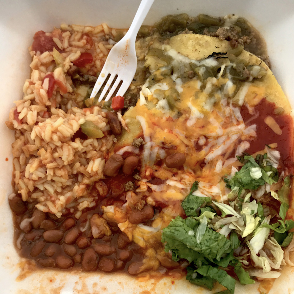
Beef enchiladas, Christmas.
My enchilada meal hit the spot, washed down by another icy soda.
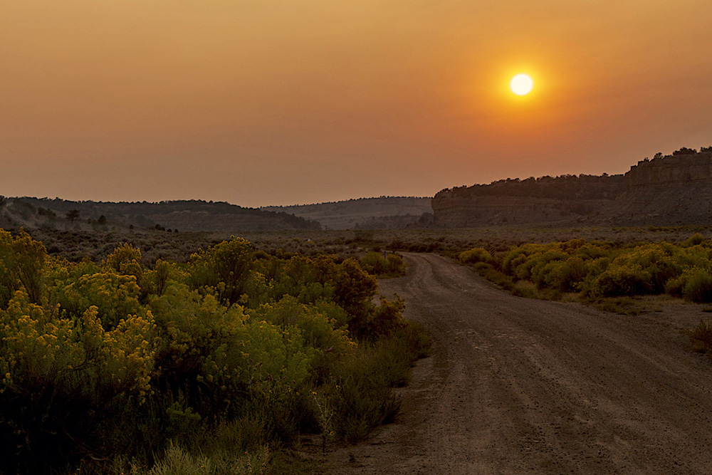
The sky was red as I left Cuba for home- a sailor’s delight for coming good weather the next morn, they say- but I figured we’d still have more hazy skies over the state when the sun returned mañana.
No matter. I had a nice day out in my New Mexico.
Arriving home shortly after dark, I was delighted to unload, clean up, and then hit the sack.
It was a fine day indeed.
3 Responses to Day Trip: Chaco Canyon