Day Trip: Bernardo WA, Magdalena, The VLA, and Datil
by Bruce • January 20, 2021 • Roadies • 0 Comments
Last Sunday, I had some free time, so it was a good day for another day trip.
I knew I wanted to spend more time “with the birds”, so my primary goal was to head south and visit the Bernardo Waterfowl Area again at sunrise. After that, I figured I’d find somewhere else interesting to go in the area.
My alarm went off at 5 AM, and I did my cat chores, and I was out the door by 5:20. I had packed my truck before I went to bed Saturday night with the day’s gear, if anything to get me out the door more quickly in the morning- and it seemed to work.
I made a drive-thru run at the Starbucks near Paseo del Norte and I-25, grabbing a cup of black dark and a breakfast sandwich before I got on the freeway and headed south into the darkness.
By the time I got to Belen, the sun was shedding a little light over the Manzano mountain range to the east, and it had a good glow when I got off of I-25 at the exit for Bernardo and US-60 east (Exit 175).
This was my third trek to Bernardo this fall/winter, a destination I have come to appreciate for its close proximity to Albuquerque, its sizable fields of birds, and its low visitor count. Bernardo is one of four public spaces in the Ladd S. Gordon Waterfowl Complex where visitors can go to see wintering fowl along the Rio Grande river south of Belen. I came to visit Bernardo first based on an internet tip, and it has won me back twice more. It is not particularly massive, but gives a bird watcher plenty to gawk at.
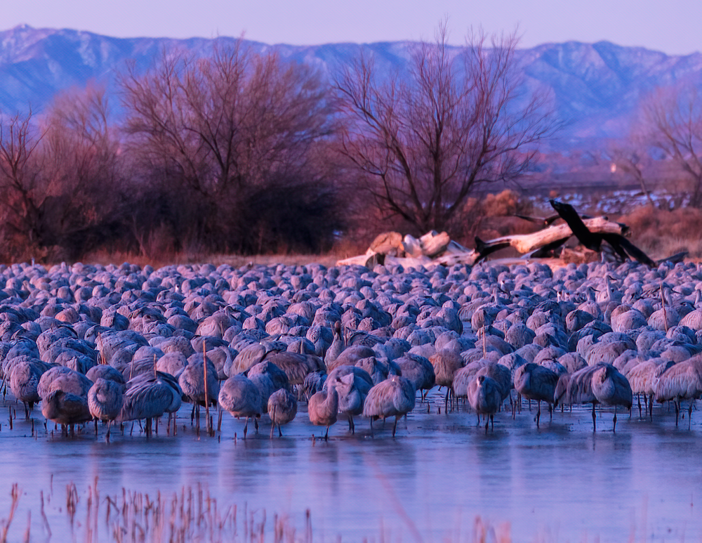
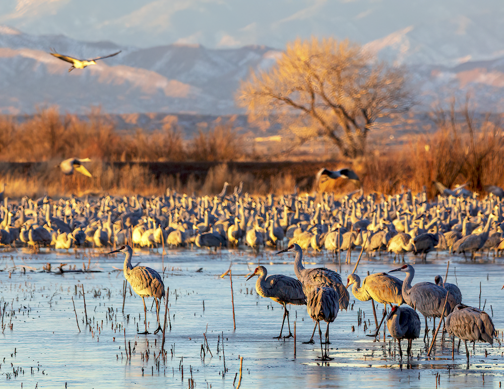
And perhaps its finest feature is its pond, which sits on the south side of the grounds. Surrounded by trees and with several observation blinds, the pond is a great place to catch the birds chilling out at sunrise before they start leaving for the fields and breakfast.
The Waking Hour
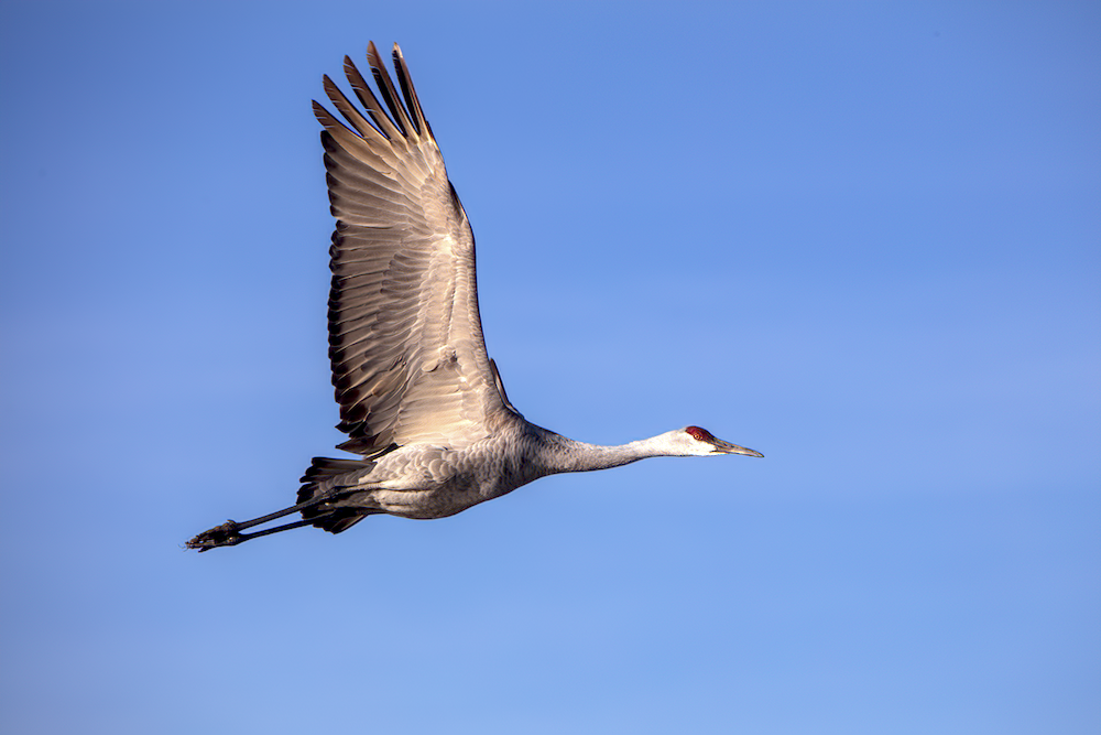
I enjoyed a crisp and colorful sunrise staring south at birds on the pond’s ice and water. I walked around the east side of the pond a bit and took more photos of the birds in new daylight. And I slow-rolled out of the grounds on the last leg of the bird tour loop, driving past feeding fowl in the fields.
We Greet The Morning
By this time, it was approaching 11 in the morning.
With temperatures moderately warm for winter and the skies clear and blue, I decided it was a fine day to head west.
With more calculation, I decided to head on down to Socorro, and then to take U.S. 60 west, to Magdelena, and then on out to the VLA. It had been a while since I was out there.
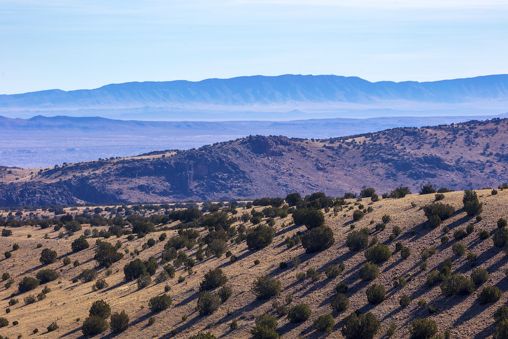
On the Magdalena Heights
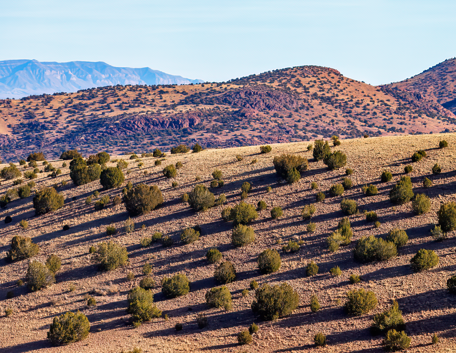
To me, one of the prettiest parts of my drive was winding up along the Magdalena mountains out of Socorro. Once you climb a bit to the plain at some altitude, your views east, over the Rio Grande Valley and at the ranges beyond it, are remarkable on a clear day.
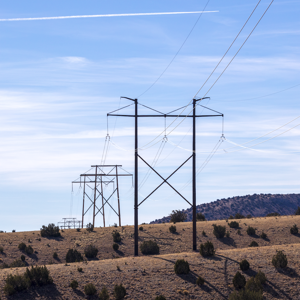
Powering Through
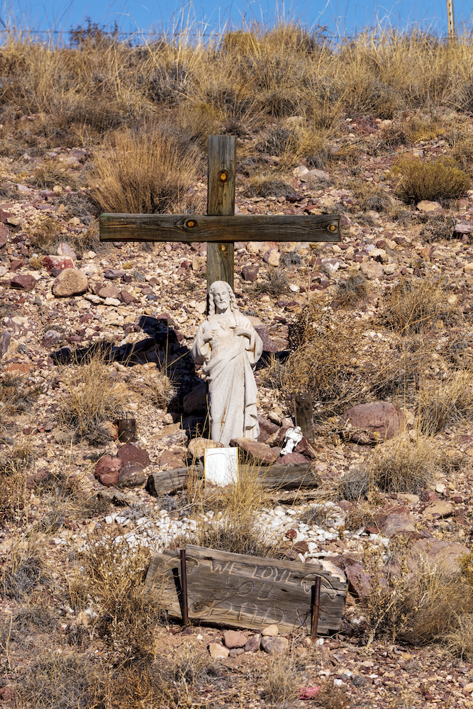
Hillside Descanso
Once I got to Magdalena, I considered finding and stopping at the Kelly Mine there, but I settled with driving up and down a few lanes to look at old houses and buildings in this old mining colony.
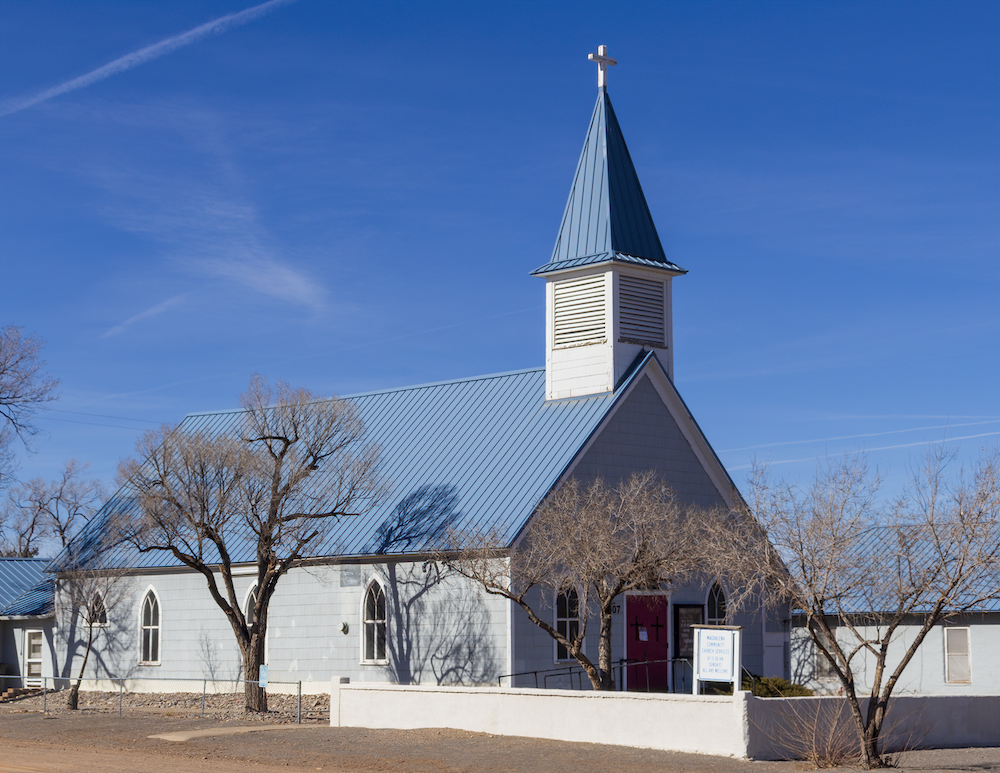
Magdalena Community Church
As I pushed on west, I admired Magdalena Peak, a fang rising by the town apart from the Magdalena’s themselves, a rocky mound covered with swaths of greenery and snow.
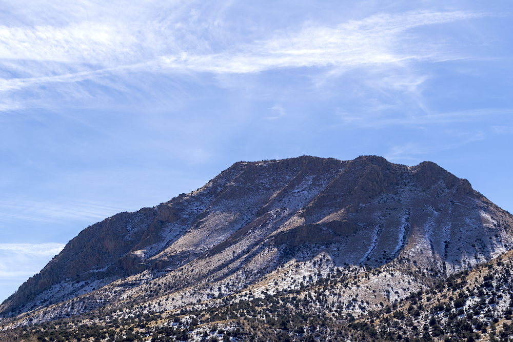
Wispy clouds entertain Magdalena Peak.
A sign at the rest area on the pass that sends you down onto the San Agustin Plains, home of the Very Large Array installation, informs you that you are traveling on the Magdalena Livestock Driveway, a stock trail that was heavily used by cowboys in the late 19th century, and on into the 1950s, driving cattle and sheep from Arizona to Magdelena, where they were sold and shipped by rail on east. At one time, the land for the drive was a 5-10 mile wide corridor of open range between Springerville, AZ and Magdelena, NM- a 120 mile journey.
Turning Up, Tuning In
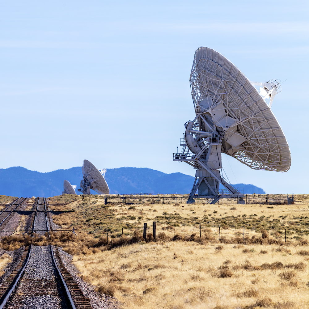
I descended on the San Agustin Plains and enjoyed discovering white radio dishes among the blanched yellow of the plain’s winter grasses.
I stopped and tried to be artsy near the closed VLA Visitor’s Center. I made several stops in the area and took a bunch of photos using a zoomed-in telephoto lens which I blurred heavily.
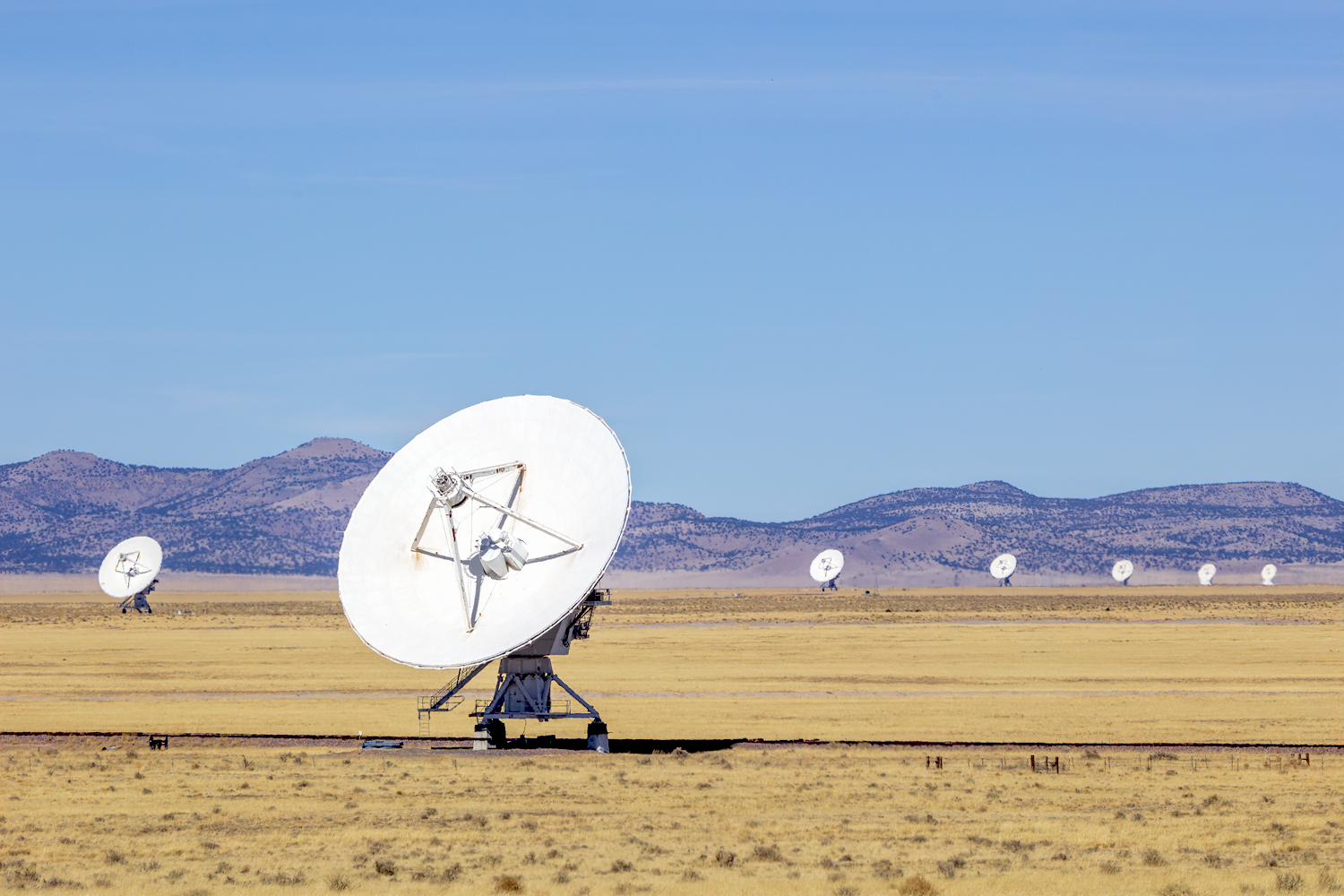
Radio dish antennas of the VLA create a 22 mile signal receiver.
And, it being mid-afternoon and I wanting to be home near sundown, I drove on to my final stop of the day- the nearly gost town of Datil.
Tiny, checkered by maligned and collapsing structures, I enjoyed looking at the ruins, and to my surprise, found a recently built Catholic church there, which told me the community was not all gone.
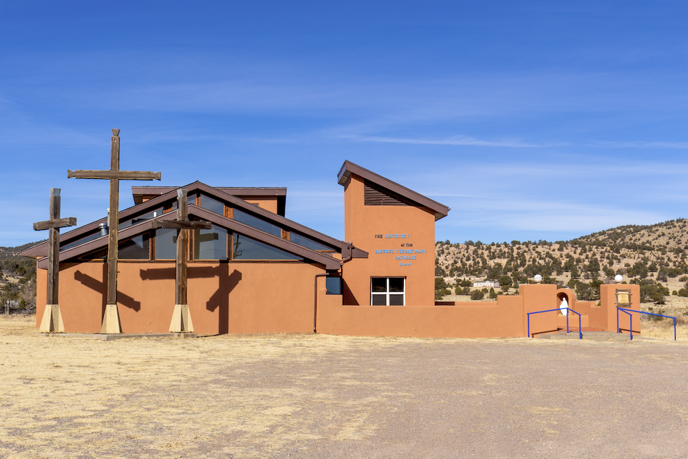
The Nativity of the Blessed Mary Catholic Church. Datil, NM.
Datil, a town on the Magdelena Trail, was founded in 1884 and its name came from the Spanish word for “date”- as in, the fruit- which someone involved in naming process thought either prickly pears or yucca pods in the area resembled, and so it suited the settlement.
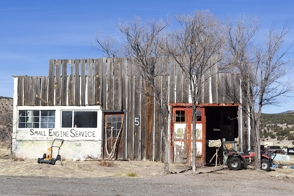
Small Engine Service. Datil, NM.
I made a quick stop at the BLM’s Datil Well Recreation Area Campground by the town, namely because it had park bathrooms that were open and, for a campground, were immaculate and well-scented. The campgrounds sit near one of the wells that was along the Magdelena Cattle Driveway, used for waterin stock as it pushed through the area.
My time in Datil satisfying and brief, I turned my truck around headed back across the yellow plain and over the pass back to Magdelena, and then back into Socorro.
Doug West called, and he wants his hill back.
I made a brief stop to see the San Miguel Catholic church in late daylight, and then I hopped back on I-25 to get home by sundown.
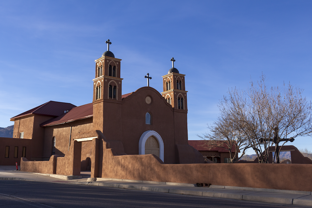
San Miguel de Socorro Catholic Church. Socorro, NM.
It was a great day with the birds, and with the dishes, and with the ruins.
My photography skills continued to betray me for many of my photos during the day- using a zoomed telephoto lens off of a tripod, poor mode selections, failure to reset certain lens toggles from being on or off a tripod, shaky hands. I need to slow down. I need to pay attention to my photographic approach before I jump into taking pictures. I need to develop my process for approaching photos better.
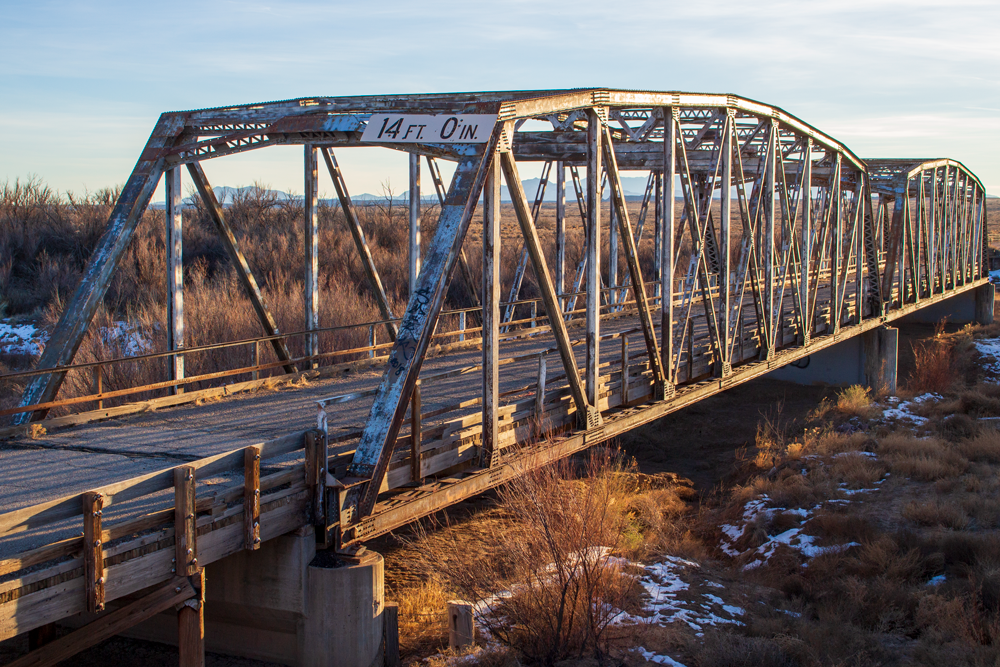
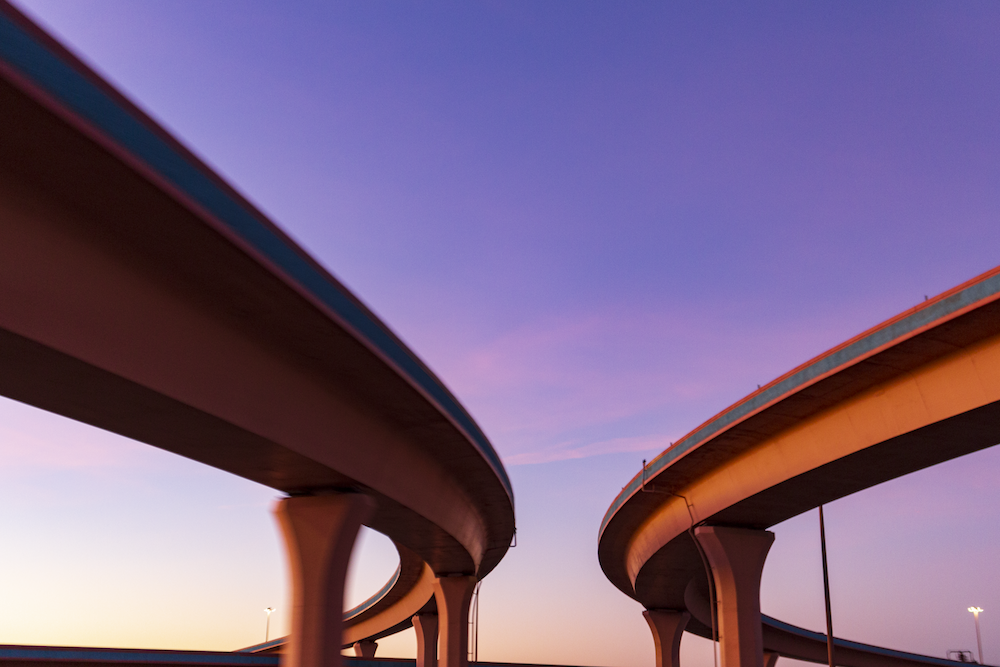
The “Other” Rio Puerco Bridge. Bernardo, NM.
But all in all, it was a good day, and I came home with some good photos as well.