Day Trip: Jemez, Valle Caldera, Abiquiu
by Bruce • September 22, 2020 • Roadies • 0 Comments
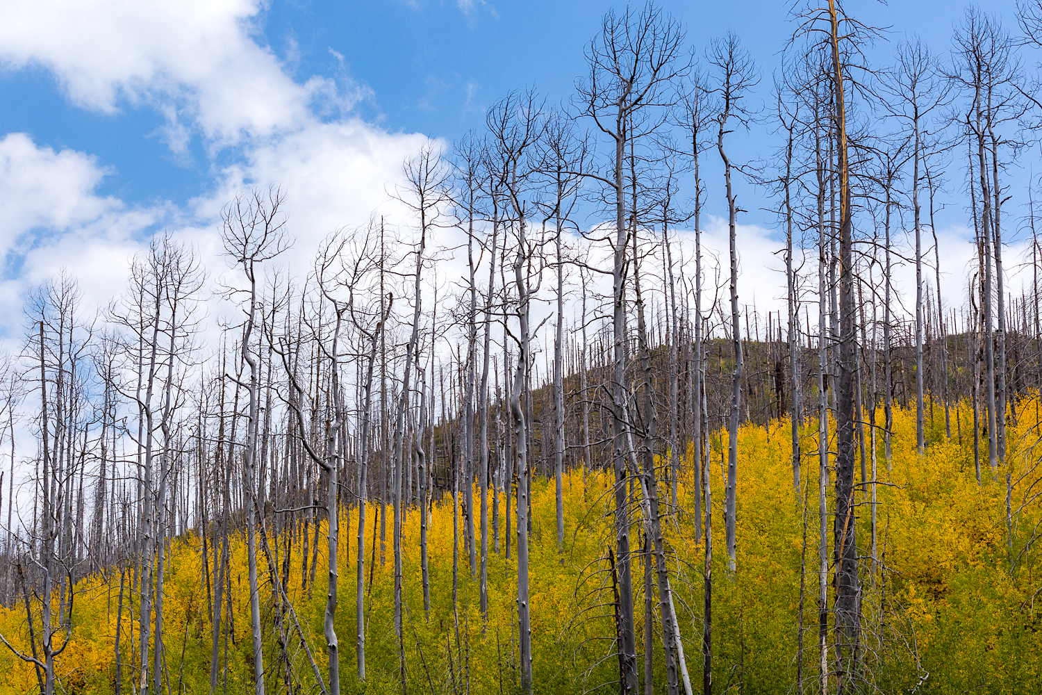
New growth on a Jemez rise south of the Valle Caldera.
This last Sunday, with the knowledge that fall was arriving this week, and with it, the spread of color down the Rocky Mountain chain and beyond, I figured it was a good day to reconnoiter how some trees looked up north.
After getting up early and getting a green chile stew stewing in the slow cooker, I hit the road mid-morning. My plan was to try and get to a few objectives, but whatever else I saw along the way would be fine. Mostly, I was wondering what the trees along the Rio Grande and the Rio Chama looked like at this time.
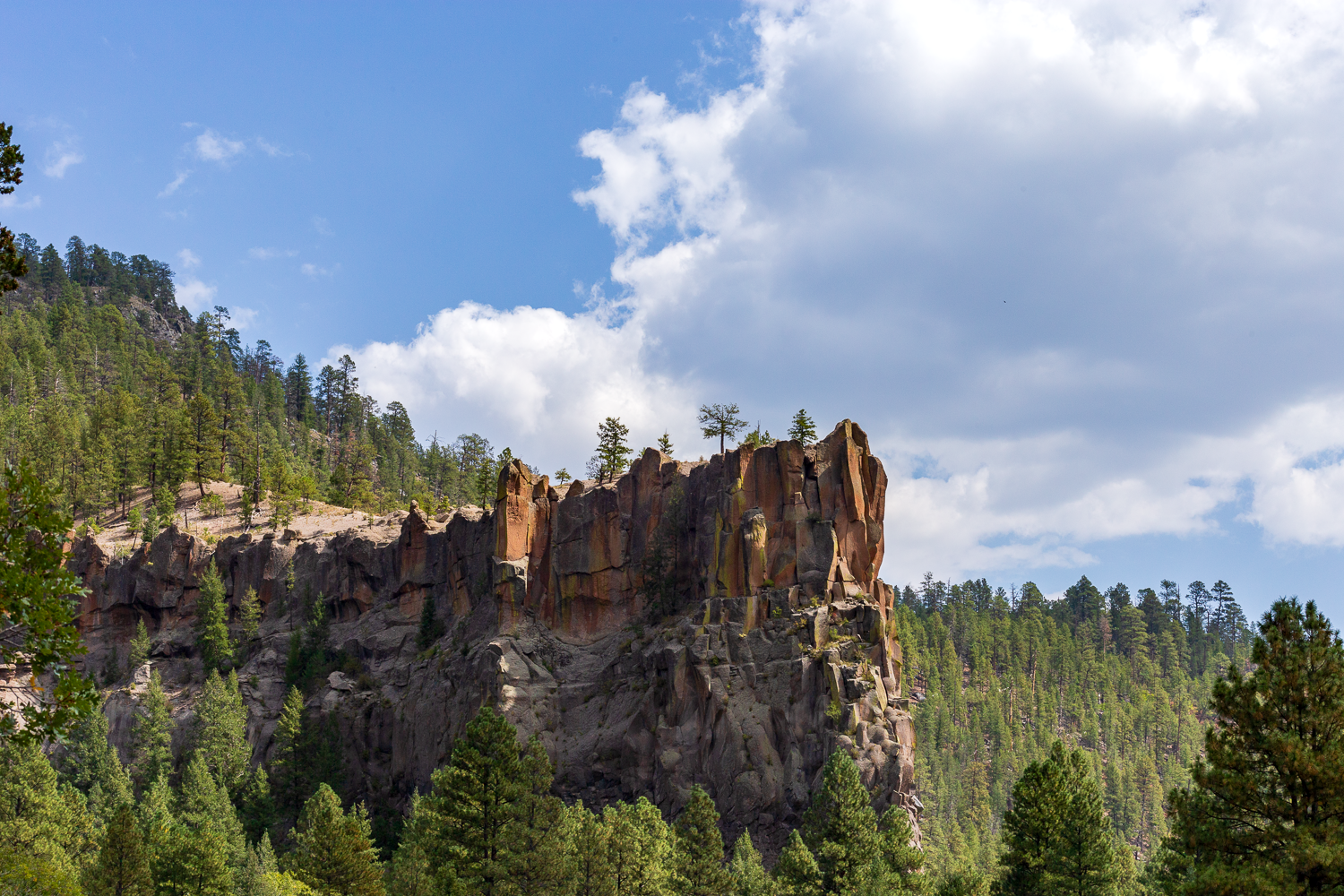
The prow of Battleship Rock cuts through the forest below.
My route was Albuquerque to Bernalillo and 550; 550 west to NM-4, which I would take north through the Jemez valley and Jemez Springs on up to the Valle Caldera; on to Los Alamos, where I would take NM-502 east over to NM-30 and head north for Espanola; from Espanola, I would head on northish via US-84 to the Abiquiu area.
As with many other days in the last month, the skies were drab and hazy until I was driving north in the Jemez valley.
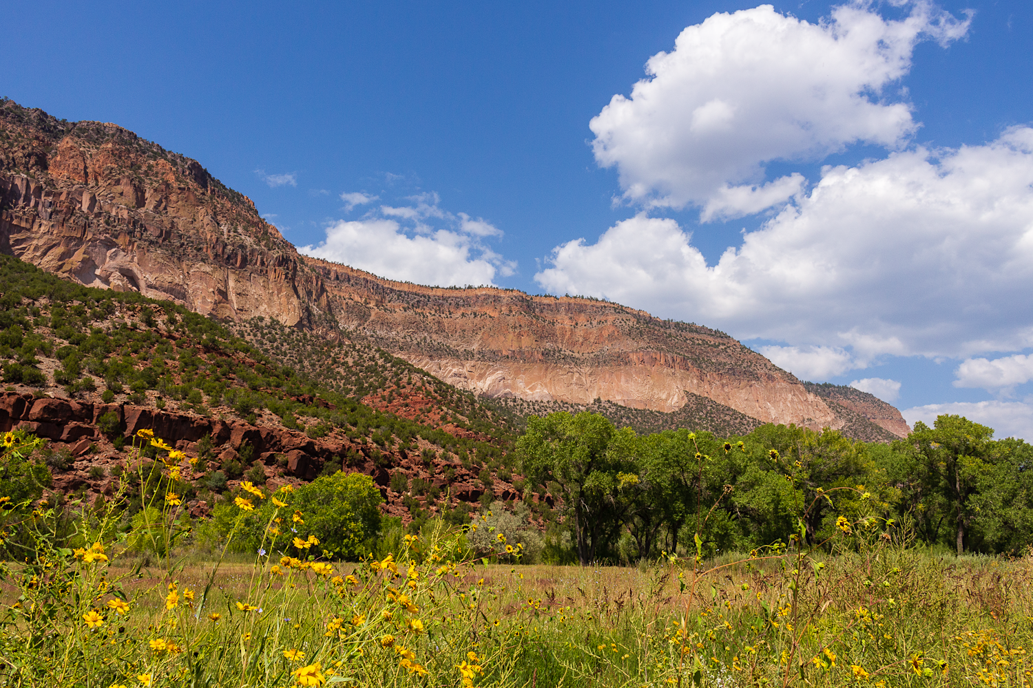
A scenic Jemez wall guides San Antonio Creek and its minions of trees on north.
I stopped at random points along the way in the valley, mostly to take in the height of the rock walls to the west, and to enjoy the colors of aspen and cottonwood trees turning by the rivers and in the Valle Caldera.
My end goals, though, were specific. I was hoping to find a morada, or a Catholic brotherhood society meeting house, that is a popular destination to find in the Abiquiu area. I was also hoping to get to the bend in the Rio Chama south of Abiquiu Dam which is also a popular fall photography destination, and see some color there.
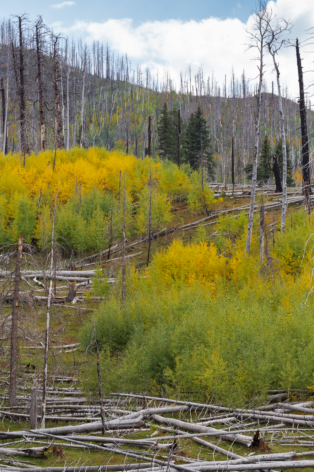
A river of aspen trunks flow down a Jemez hillside.
For the most part, my adventure was straight forward. Wander, and wonder.
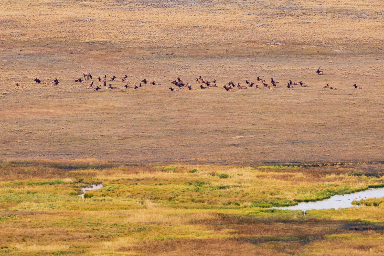
An elk bull reposes by his harem in the broad open space of the Valle Caldera bowl.
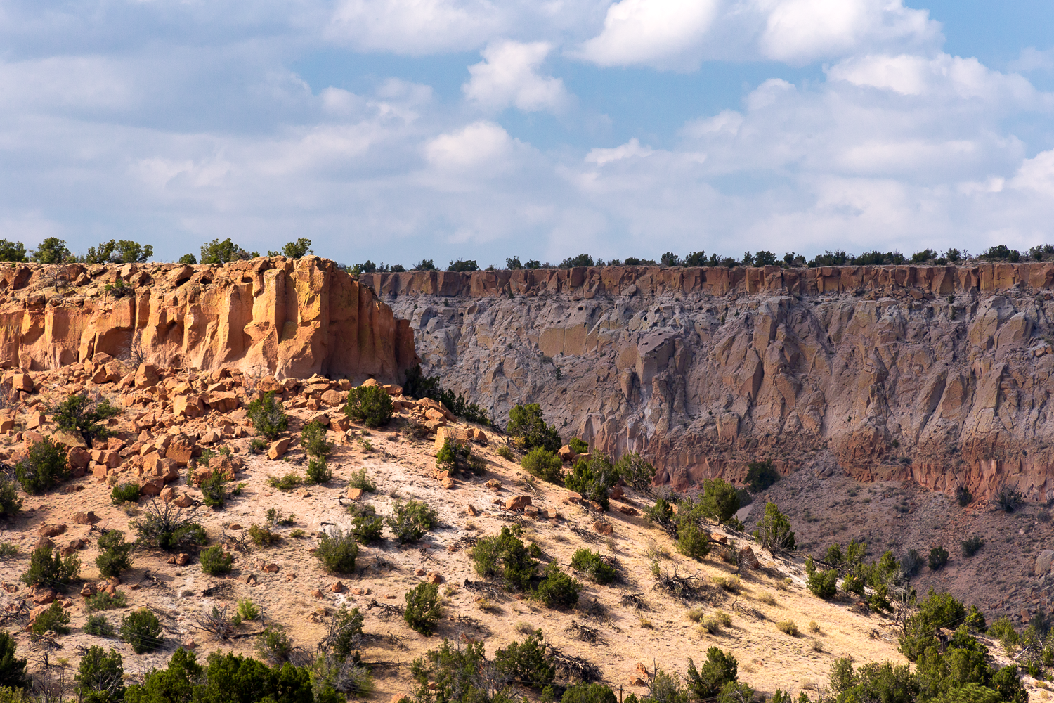
Welcome to your wrong turn, and Pueblo Canyon.
An errant turn in Los Alamos, though, revealed to me Pueblo Canyon- a giant long gash in the earth north of the town that I had no idea was there, despite my long occupancy in New Mexico. My errant turn took me up a scenic rising road into town that featured an overlook point looking back at where I had come from, featuring several tall mesas that had been carved out over long millennia. It was a remarkable discovery to me.
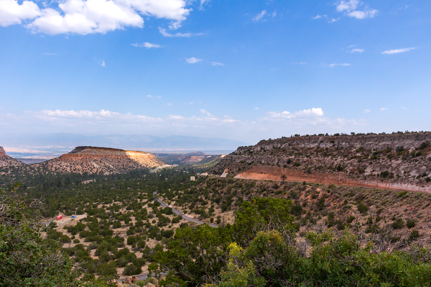
Santa Fe Baldy and the Rio Grande Valley lay in the hazy distance behind Cottonwood Canyon (foreground) and Fly Hill (the glowing mesa, left in frame) from this scenic viewpoint.
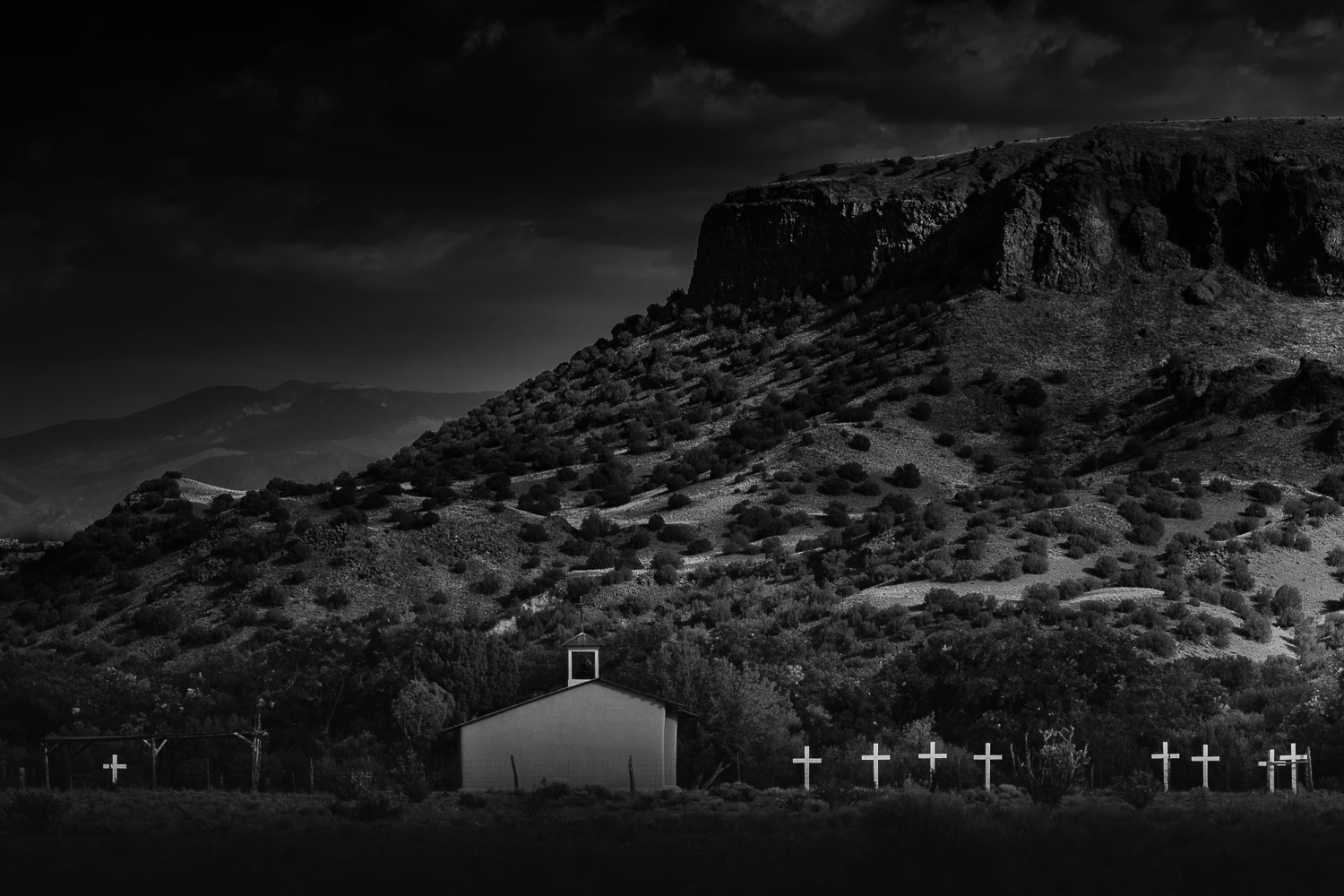
The other great discovery I made occurred as I headed north on NM-30 towards Espanola form Los Alamos. A road I have been on a number of times, it took this time for me to realize that to the right, in San Ildefonso Reservation land, was a famous church with its amply crossed yard- La Capilla de Sagrada Familia- sitting near the aptly named Black Mesa. I spent a little time photographing the butte and church.
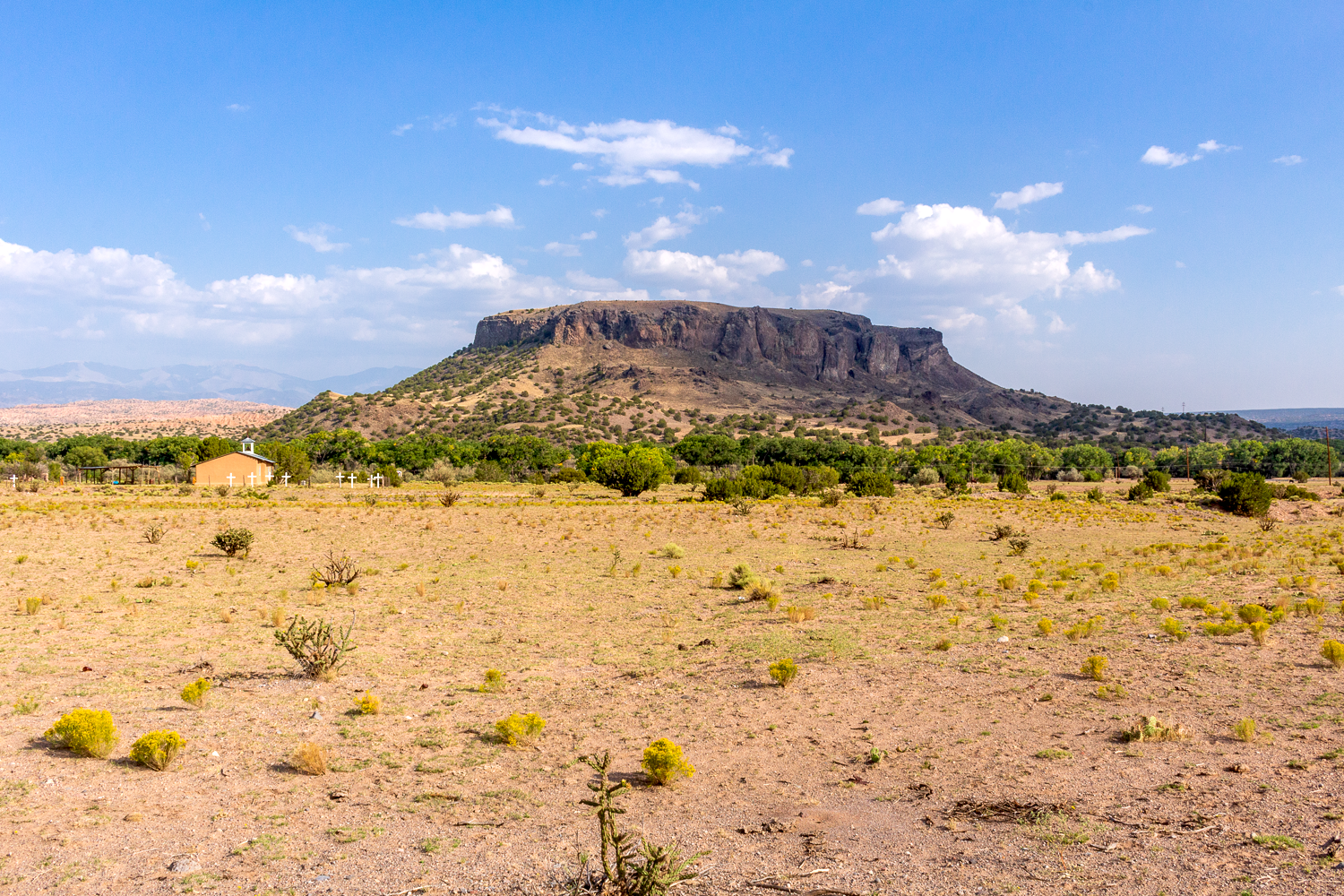
La Capilla de Sagrada Familia lies on San Ildefonso land under Black Mesa, east of NM-30.
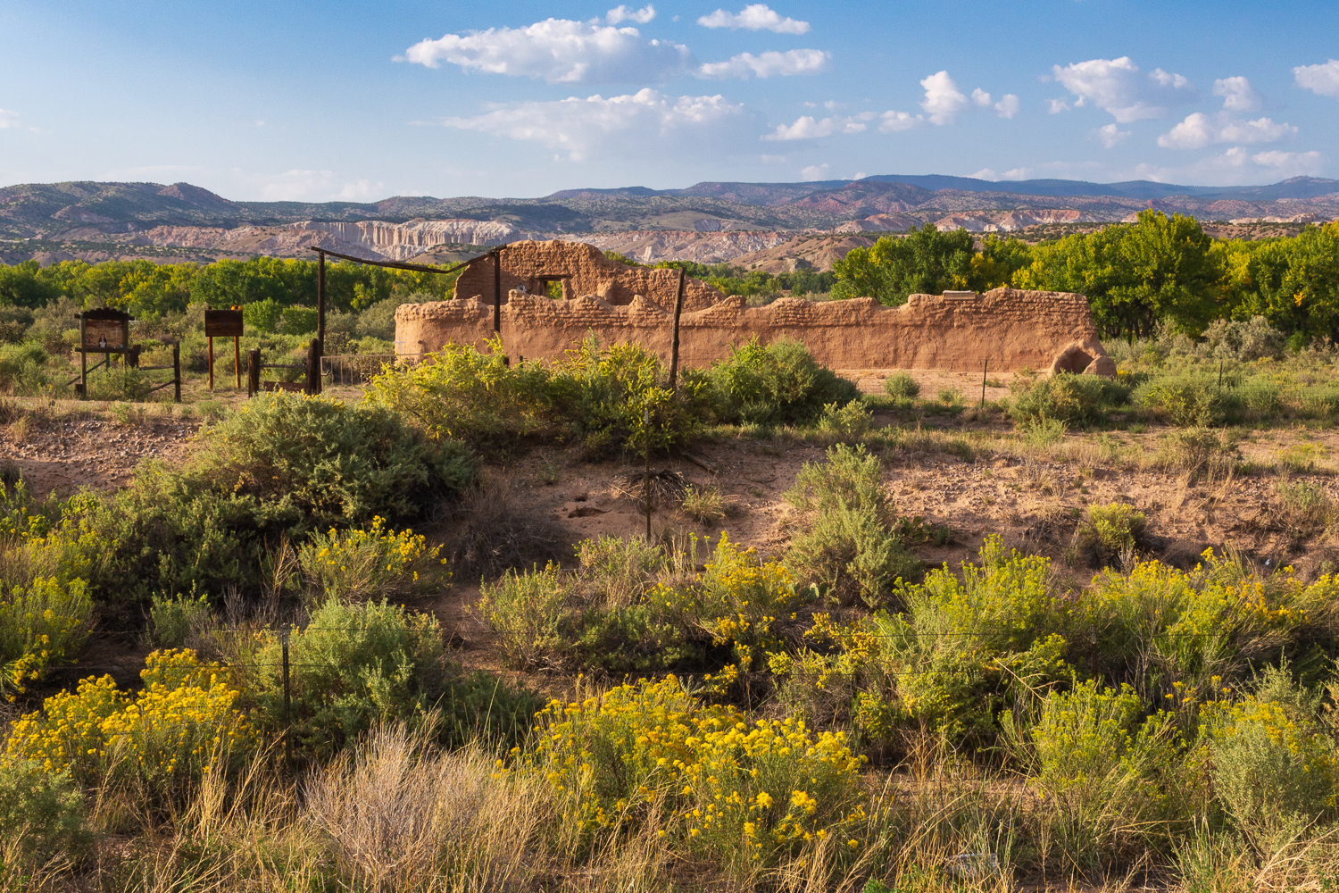
The time-worn ruins of Santa Rosa de Lima Church sit right off of NM-84 by Abiquiu, with the white limestone palisades of Plaza Blanca visible in the distance beyond the Rio Chama bosque.
At golden hour on Sunday evening, I approached Abiquiu and stopped at Abiquiu Inn and asked the young hostess there if she knew where the morada was. As it turned out, it was literally “just around the next corner”. I just needed to take my next left on 84, climb a hill, and I would see it.
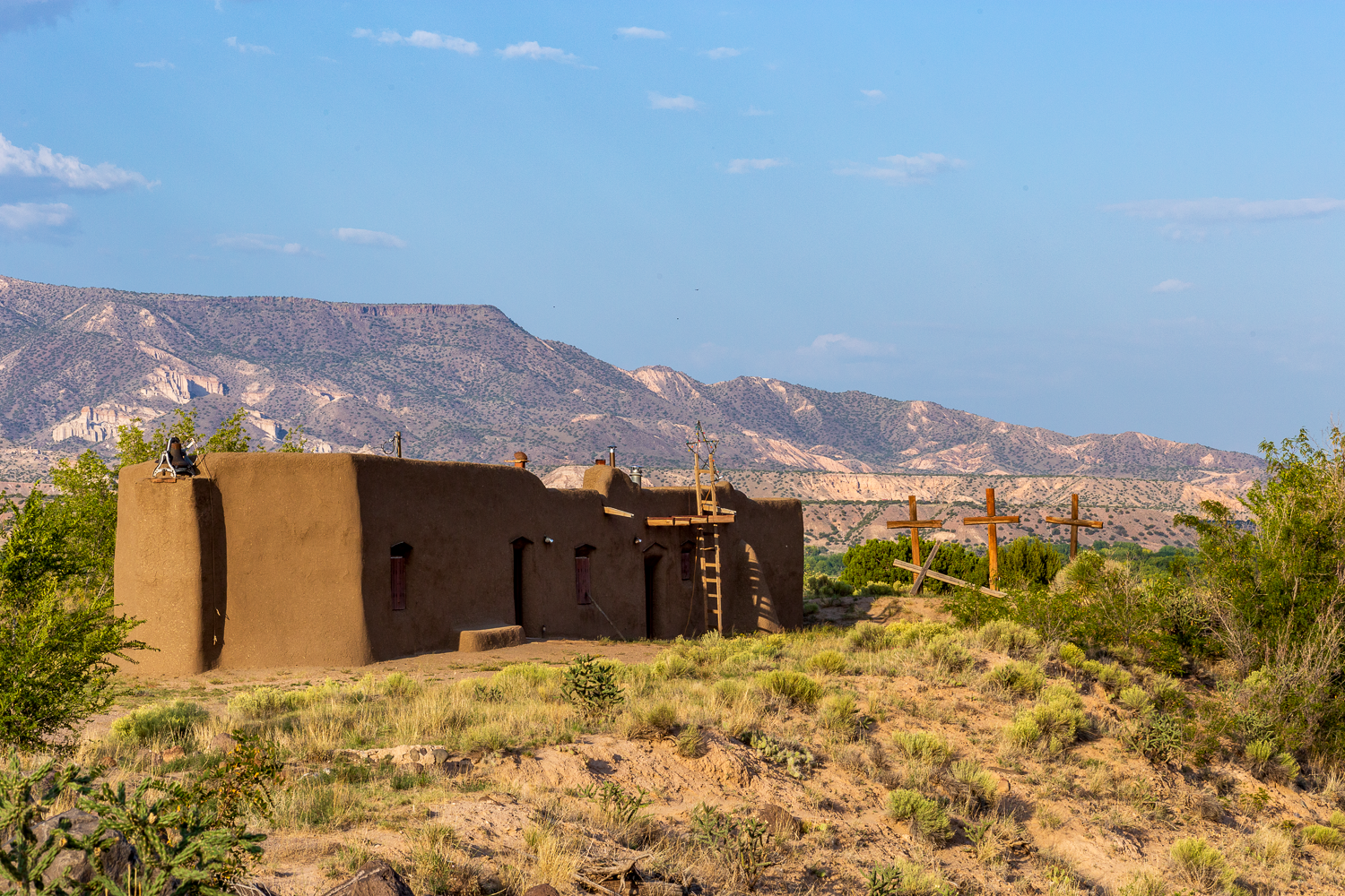
Morada del Pueblo sits on a knoll above the little old town at Abiquiu.
After a while in my visit at the old meeting hall, the sun dropped behind some clouds, and I realized it was about 45 minutes before sundown, and that I needed to scoot.
I hopped back in my truck and pushed on north of Abiquiu for the famous Rio Chama rising curve on US-84 south of Abiquiu Dam. There, from a pullout on the west side of the road, you can view the wind of the Rio Chama as it approaches you from its remote exit from Abiquiu Dam to the west, and turns south to explore the valley.
As I drove up and stopped at the pullout, the sun was still up, but muted behind a thick cloud, and I thought that that day might not be my day to see the valley bathed in fall splendor. I could see a number of the trees in the bosque below were showing some fall colors, but they all sat in shadow. So I waited for a few minutes. And then the sun gave one last encore over the area before calling it a day.
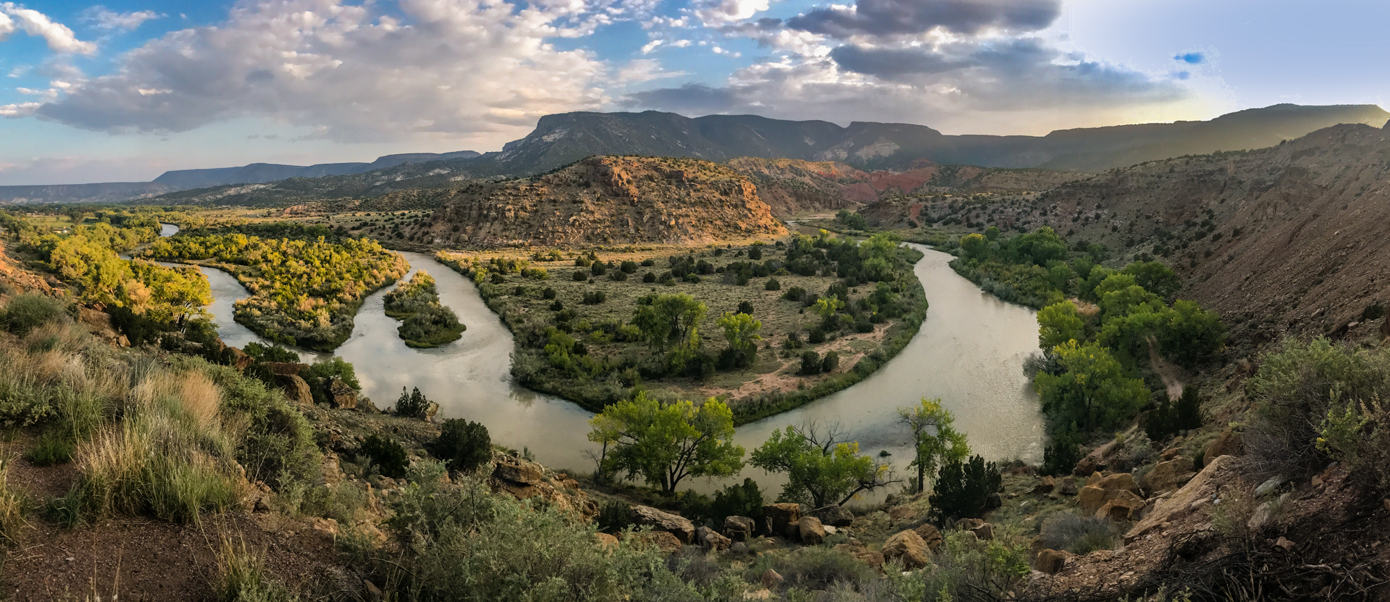
Gentle late light washes over this famed Rio Chama river bend.
With this corner of the Rio Chama falling into shadow, my exploring was done. I had been able to see the two main sites I had wanted to see that day, and I also saw some color in the trees near the rivers. And I saw a few new places I could add to my mental map of my New Mexico.
Mission accomplished for the day, I enjoyed a quiet trip as night fell and chased me into Santa Fe, and then outsprinted me to Albuquerque.